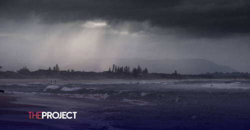
La Niña occurs when there is a cooling of the tropical Pacific Ocean.
According to the Bureau of Meteorology (BOM), La Niña is often associated with higher-than-average winter, spring and early summer rainfall over much of Australia.
“La Niña tends to begin in autumn, mature during winter, spring and early summer, then begin to decay in late summer. La Niña generally ends in the autumn. The greatest impact usually occurs during the winter, spring and early summer period,” the BOM website reads.
Unlike a typical La Niña, the current weather pattern has started forming in the middle of summer, only the second time in 75 years, according to ABC meteorologist Tom Saunders.
The waters along the equator have dipped below the BOM’s La Niña threshold of 0.8C and below.
Saunders wrote that La Niña both atmospheric and oceanic signals would need to be “sustained for at least three months for a fully-fledged La Niña episode.”
Some of the weather signals include stronger-than-normal trade winds, cloudiness shifting from the International Date Line to Indonesia, and cooler-than-normal tropical Pacific sub-surface temperatures.
It is unclear what impacts a January-forming La Niña will have on Aussie weather due to its rare occurrence, but it will likely bring more showers to the start of 2025.
It is also unclear if or when the BOM will officially declare the La Niña.


